
Keyword
Earth Science | Human Dimensions | Human Settlements | Coastal Areas
1 record(s)
Type of resources
Topics
Keywords
Contact for the resource
Provided by
Formats
Representation types
Update frequencies
Status
draft
-
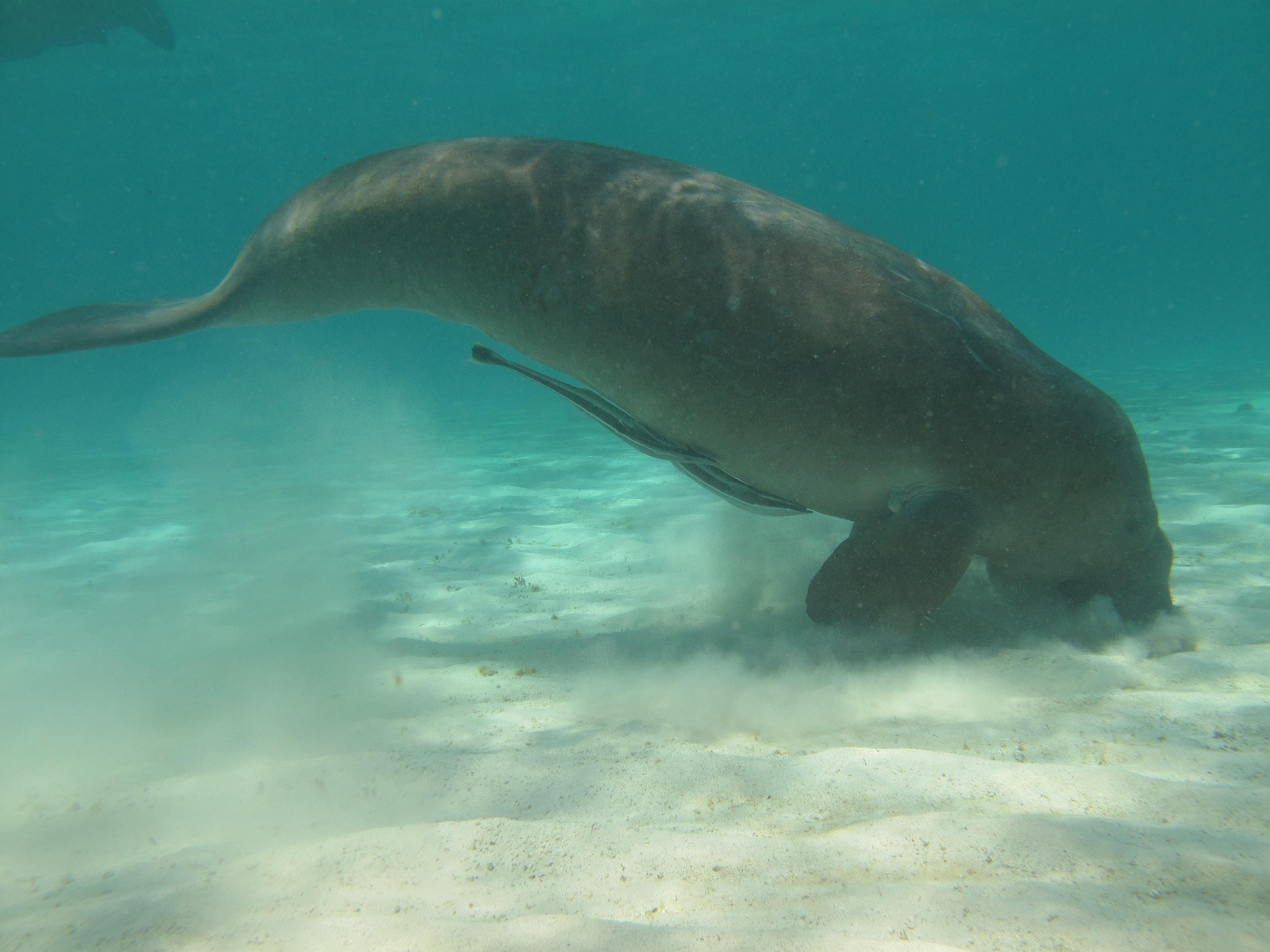
Dugongs (Dugong dugon) are listed as vulnerable on the IUCN Red List of Threatened species and as other specially protected fauna in WA under Schedule 7 of the Wildlife Conservation (Specially Protected Fauna) Notice 2015). Gaps in our knowledge in Western Australia include having a good understanding of the species’ distribution, abundance and high use areas across the northwest. This 3-year project (2014-2017) integrated Indigenous knowledge and scientific observations from field surveys to better understand the distribution, abundance and movements of dugong in the Kimberley region. The data collected also provides a baseline for future monitoring and management. This medata record relates to raw and processed aerial survey data of marine fauna collected between 21st September 2015 and 8th October 2015 in Kimberley coastal waters to the 20m bathymetry line, comprising dugongs (Dugong dugon), Australian snubfin dolphins (Orcaella heinsohni), other dolphins (bottlenose, spinners, false killer whales), humpback whales (Megaptera novaeangliae) and large, mostly green turtles (Chelonia mydas). The WA Department of Biodiversity Conservation and Attractions (DBCA, ex-DPaW) and CSIRO provided additional resources to extend the North Kimberley dugong aerial survey boundary westwards (Broome to just past Port Hedland) to cover the South Kimberley-Pilbara coastal regions, to close the last remaining knowledge gap of the dugong distribution and abundance in Australia. This additional survey was completed in May 2017. Data from a trial movement study undertaken between 1-18th August 2016 also forms part of this metadata record. Five dugongs were tagged with Telonics manatee/dugong tags. GPS and ARGOS satellite detection locations and dive data were downloaded weekly from the ARGOS web site.